Granular Realism: Dominant and Counter-Dominant Practices of Spatial Photography in the Naqab

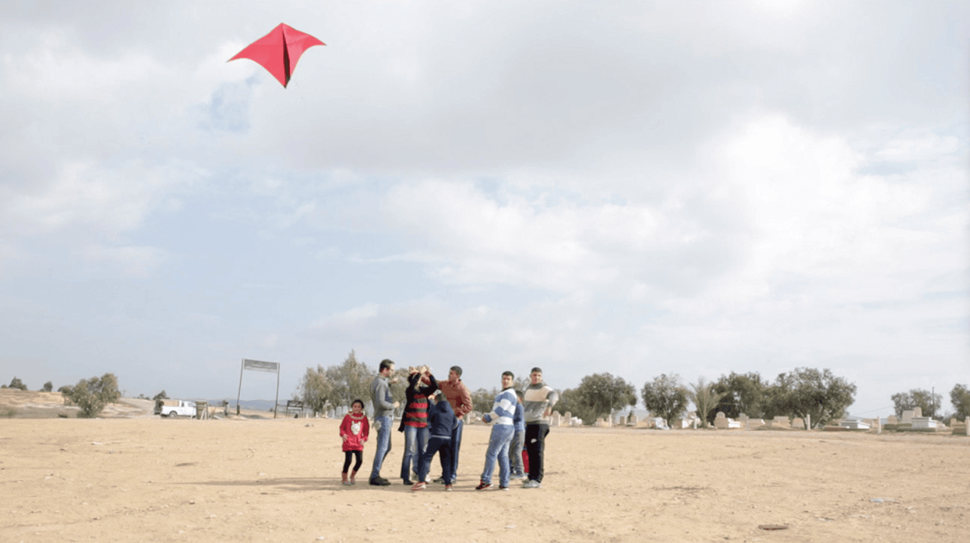
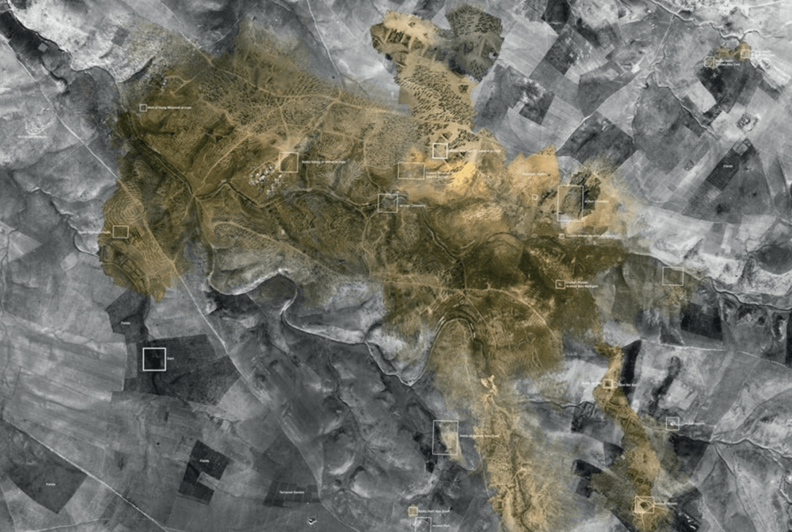
The research offers an original and practice‑driven investigation into the politics of imaging in contested desert geographies. Centred on the unrecognised Bedouin village of al‑‘Araqīb, the research introduces a novel methodological and conceptual framework for understanding how visual technologies—state‑driven and community‑generated—shape the production of space, history and legal truth. The project establishes “granular realism” as an innovative analytic that brings together vernacular images, DIY aerial photography, and computational photogrammetry to reveal otherwise obscured land practices and histories. This approach departs from conventional uses of aerial imaging by foregrounding counter‑dominant, community‑led modes of documentation.
The significance of the research lies in its direct contribution to ongoing land‑rights struggles and its ability to intervene in juridical, cultural, and political spheres. By assembling a community photographic dossier and producing a 3D GIS platform that visualises land continuity, displacement, and erasure, the work provides evidentiary material for legal processes—including its deployment as expert evidence in the Be’er Sheba Regional Court for the al‑Turi family’s land‑rights claims. Exhibited internationally (Tate Britain, A.M. Qattan Foundation) and published in both peer‑reviewed journals and major edited collections, the research amplifies suppressed narratives of Bedouin presence while exposing state practices of erasure through afforestation, demolition cycles, and the manipulation of cartographic absence. The project’s rigour derives from its multi‑layered methodology, combining fieldwork, collaborative image production, chronological metadata analysis, and photogrammetric reconstruction of low‑altitude aerial data. Each dataset is geo‑referenced, temporally indexed, and triangulated to form precise 3D point‑cloud terrains, ensuring robust evidentiary integrity. The integration of community testimony, historical archives, and computational measurement techniques establishes a high standard of methodological precision. Through this synthesis, Ground Truth advances new scholarly frameworks for spatial justice and evidentiary imaging in environments marked by protracted dispossession.